CERTASCAN
The largest lake in Catalonia.
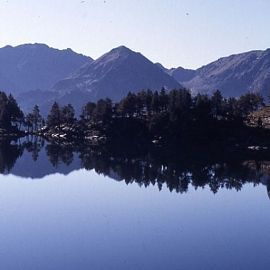
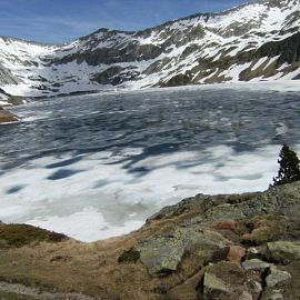
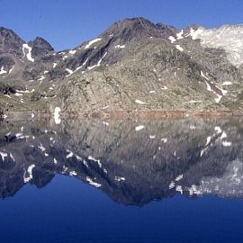
Lake Certascán, also known as Sertascán, is a glacial lake located at an altitude of 2,236 meters, at the head of the Cardós Valley (Pallars Sobirà), east of the Certascán peak (2,853 meters). Its outflow forms the Certascán River, which flows into the Lladorre River. Currently, the lake is used for hydroelectric power generation, with water being channeled underground to the Tavascán power plant. It is the largest lake in the Catalan Pyrenees and also one of the deepest.
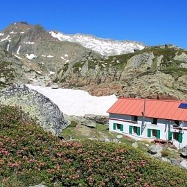
This lake is the largest in the Pyrenees and is in a magnificent setting. During the ascent, we can admire the Pica d'Estats (the highest point in Catalonia at 3,173 m) and, with luck, encounter groups of Pyrenean chamois. We begin the route following a section of the track that leads from Tavascán to Boavi. After 1 km, we reach Pla de la Borda, where we follow the GR markings that leave the track and begin the ascent to the north. The path is very well marked, although it doesn't coincide with the one shown on the Alpina map. After about 50 minutes on the trail, and after passing through Pleta del Tornapigol, we cross the track that leads to Estany de Romedo. We continue along the path, which takes us to the lake in 1 hour and 30 minutes. We did this last section on snow (in May), so it can probably be done in 1 hour during the summer.