


Hiking
Walking routes
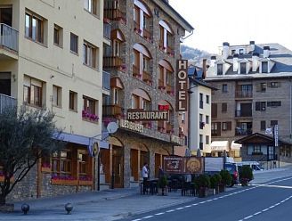
From Hotel Les Brases, we invite you to discover hiking trails and excursions that will transform your stay into an unforgettable experience. Explore the area around Sort by walking through mountain landscapes, serene forests, and breathtaking natural viewpoints. Perfect for those seeking to disconnect, breathe fresh air, and reconnect with the essence of nature. Experience the adventure at your own pace, step by step, and rediscover Sort like never before.
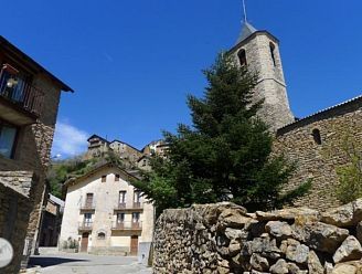
Excursions around Sort
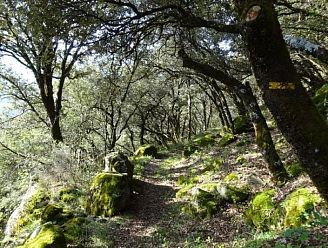
This 12.8 km circular route takes you through the small villages scattered across the Batlliu de Sort mountain range, in the heart of Pallars...
Noguera Pallaresa and Àssua Valley from Sort
A fantastic route that takes us into the lower part of the Àssua Valley, following the old bridle paths that once connected the villages of the...
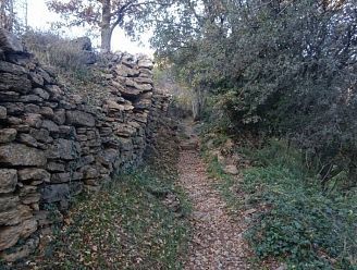
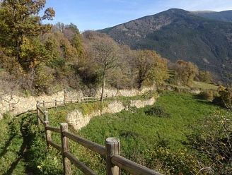
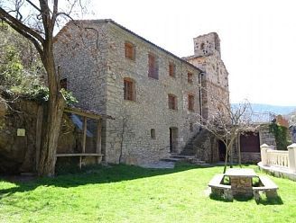
Novel places in the Àssua Valley from Sort
A very comprehensive, in-depth, and fascinating excursion that takes us deep into the Àssua Valley, following the old bridle paths that connected...
The Dragon of Saverneda, Tornafort and the Siarb Valley from Sort
We set off from Sort, the capital of Pallars Sobirà, towards the Saverneda farmhouse crossroads. We ascend the picturesque Soriguera ravine to the...
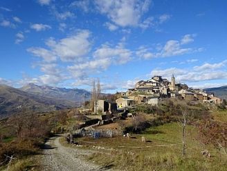
Sort, Malmercat and Arcalís Castle from Sort
This 24.4 km (14.5 mi) route, partially circular, runs through the municipalities of Sort and Soriguera, in the southernmost part of the Pyrenean...
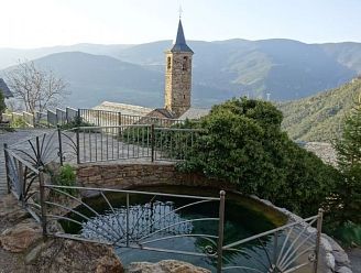
Mother of God of Arboló and Gerri de la Sal
This 15.3 km linear route (one way) follows the course of the Noguera Pallaresa River, from Sort to the Arboló Sanctuary and Gerri de la Sal. The...
The horseshoe route from Sort to Peramea, Gerri and Sort
Circular route of 48.4 km through the south of Pallars SobiràA 48.4 km route that reveals the small villages and the old bridle paths that connected...
From Sort to Gerri de la Sal via Estac, Mencui and Peramea
A linear route of 33 km in length (one way only) that allows you to discover the charming villages of the southern sector of Pallars Sobirà, following...
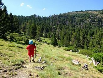
Lake Davall in Les Comes de Rubió
This is an ideal family-friendly hike, with no technical difficulty, covering 4.2 km and a total elevation gain of 125 m, perfect for enjoying the...
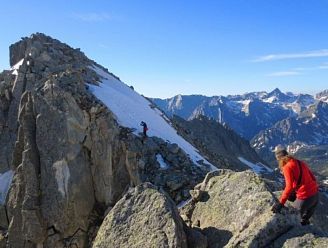
Ascension to the Amitges peak and the Tuc de Saboredo
Discover two of the great viewpoints of Aigüestortes i Estany de Sant Maurici National Park: Amitges Peak (2,848 m) and Tuc de Saboredo (2,829 m), one...
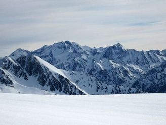
Tavascan Pico de la Coma del Forn from Pleta del Prat
In Tavascan, in the heart of the Lleida Pyrenees, the ascent to the Coma del Forn peak awaits you, one of the best viewpoints in the High Pyrenees,...