Book now
Book here
Hotel Les Brases=s1900
Loading...
2/0/0
Book here

ROUTE FROM SORT THE HORSESHOE ROUTE,
PERAMEA, GERRI AND SORT

This route is 48.4 km long and reveals the small villages and the old bridle paths that connected them in the southern sector of Pallars Sobirà. We do the outward section to Gerri de la Sal along the right orographic side of the Noguera Pallaresa, flanking the valley at medium altitude through the mountains of Llarvén and Estac. We make the return from Gerri de la Sal to Sort along the left orographic side of the valley, following the course of the river Noguera Pallaresa. It is a very hard and demanding route due to the great difference in altitude and distance to overcome. It is only recommended for mountain runners or hikers used to long-distance routes.
 
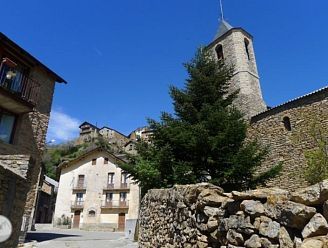
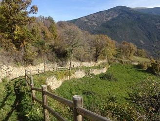
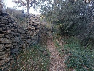
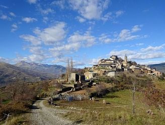
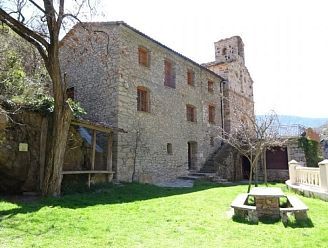
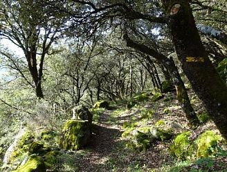
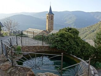
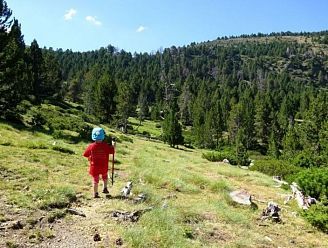
We enter fully into the territory between Sort and Gerri de Sal, discovering in depth the mountainous landscapes of this transition zone between the Pre-Pyrenees and the High Pyrenees. We make the outward journey along the wooded slopes of the Llarvén and Estac mountains, following the old paths with cobbled sections and dry stone walls that used to connect the small villages scattered throughout the territory. We make our way back along the valley floor, surrounded by meadows and pleasant riverside woods.
 
THE BEST OF THE ROUTE
- Walk along the bridle paths of the Pallars, with cobbled stretches and dry stone walls.
- Let yourself be seduced by the magic and charm of the small villages in the area.
- The peace and quiet that you can breathe in this corner of the Pyrenees.

ROUTE DESCRIPTION

Difficulty: Remarkable
Departure/arrival: Hotel Les Brases / Sort
Total time: 12.55h
Minimum altitude: 586m
Maximum altitude: 1,340m
Accumulated elevation gain: 2,280 m
Total distance: 48.4km
Nearest town: Sort
Accumulated elevation gain: 2,280 m

MORE INFORMATION

 
- Duration: Full day.
 
- Total effective time (without stops): 12:55h in total. 4:50h from Sort to Mencui, 4:40h from Mencui to Gerri de la Sal and 3:25h from Gerri de la Sal to Sort.
 
- Total difference in altitude: 2.280m
 
- Difficulty: Notable. This route is only suitable for mountain runners and hikers with a very good physical preparation, used to long-distance routes with a steep gradient. Orientation must also be taken into account: at some points it is difficult to find the right path (for this reason we recommend the use of a GPS device and the track of the route).
- Season: All year round.
 
- Material: Nothing special.
 
- Cartography:
1. Parc Natural de l'Alt Pirineu. 1:50.000. Editorial Alpina.
2. Ramat de Camins. Ramat de l'Est. 1:50,000. Editorial Alpina.
3. Topographic base of Catalonia 1:25.000. Institut Cartogràfic i Geològic de Catalunya (ICGC).
 
- Remarks:
1. It is a very long route, it is advisable to take into account the hours of daylight.
2. The paths are marked with yellow continuity marks and signs at the crossroads. However, it is necessary to pay attention to the orientation because in some stretches the itinerary can get lost.
3. There are water sources in the villages of Bressui, Enviny, Montardit, Estac, Balestui, Peramea, Gerri de la Sal and Baro.
4. If from Gerri we prefer to return to Sort by public transport, we can do so by bus (timetables: www.alsa.es).
 
- How to get there by car:
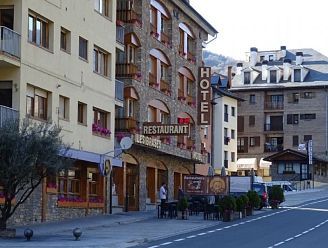
The starting point of the excursion is at the Hotel Restaurant Les Brases de Sort. We arrive in Sort on the C-13 road. The Hotel Les Brases is located on the C-13 road, just at the north exit of the village. In front of the hotel there is a free parking space.
Thank you for subscribing to our newsletter