Book now
Book here
Hotel Les Brases=s1900
Loading...
2/0/0
Book here

ROUTE FROM SORT SORT MALMERCAT AND THE
ARCALIS CASTLE

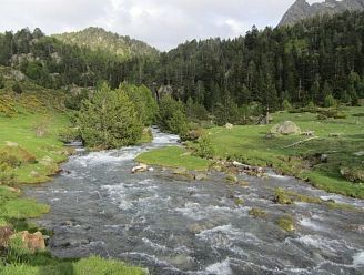
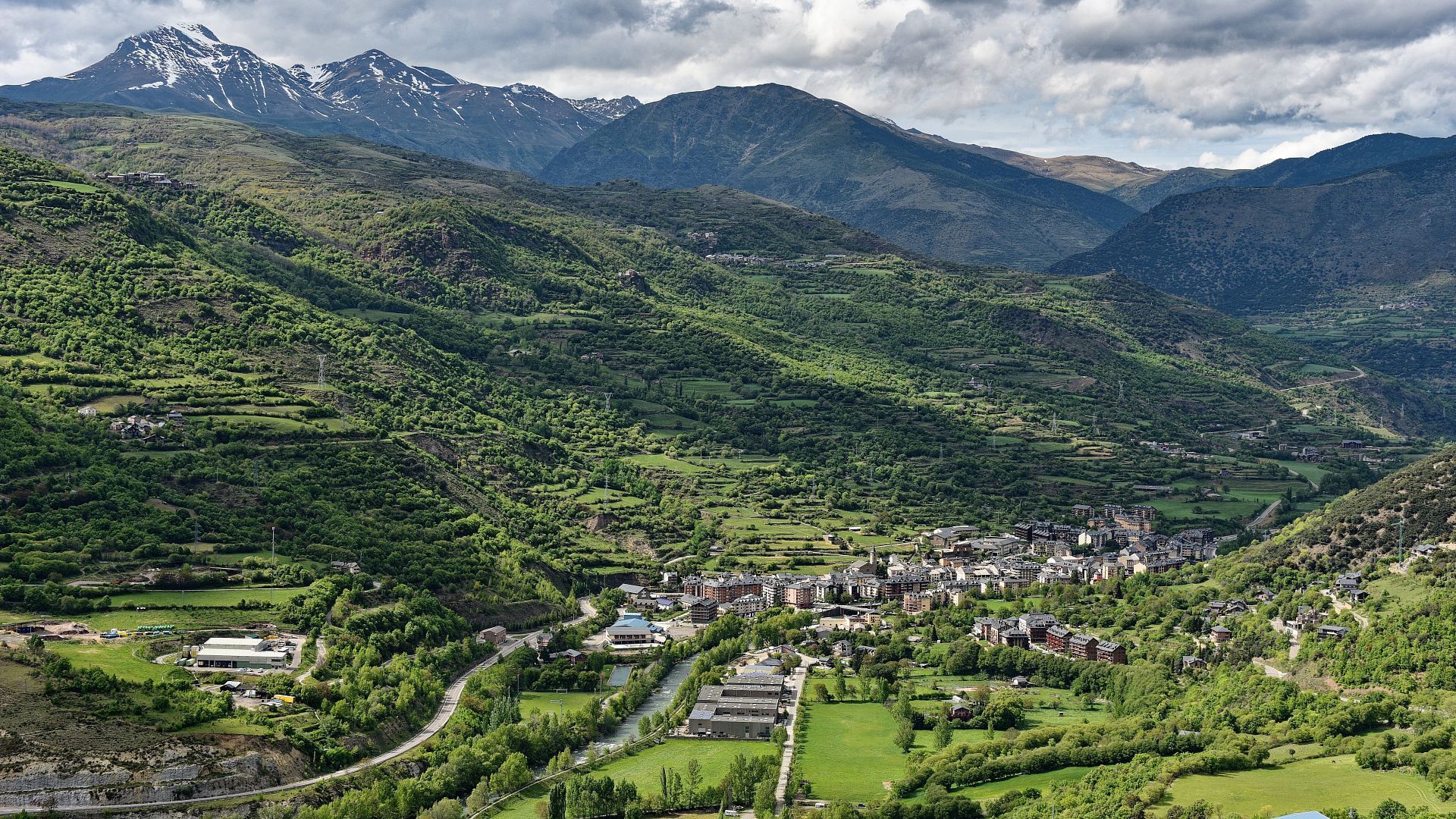
Itinerary of 24.4 km in length - partially circular - that runs through the municipalities of Sort and Soriguera in the southernmost part of the Pyrenean region of Pallars Sobirà. We start the route in Sort, the county capital, follow the river Noguera Pallaresa to the south and climb up to Malmercat. After admiring this small village, we descend towards Baro and then ascend to Arcalís. From here we continue climbing up to the remains of the castle of the same name, a sensational vantage point overlooking the Baix Pallars and the territories of the old barony of Estac. The route is demanding due to the slope and the distance to be covered, and although it is signposted, it is necessary to pay attention to orientation, especially at the crossroads.
 
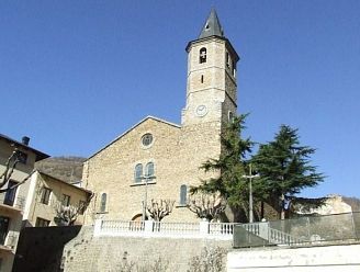
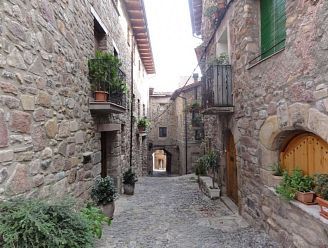
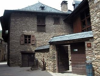
This route takes us to Malmercat and Arcalís, two of the numerous villages that extend along the mountain slopes of the valley of the river Noguera Pallaresa, in the southern sector of Pallars Sobirà, following the historic paths - with cobbled sections and dry stone margins - that link the villages of this Pyrenean area full of magic and charm.
 
THE BEST OF THE ROUTE
- Discover the picturesque villages of Malmercat and Arcalís.
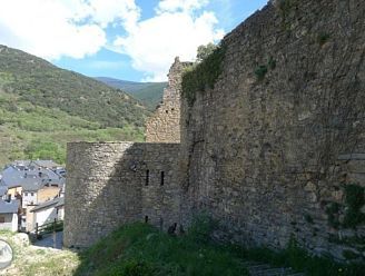
- Visit the ruins of the castle of Arcalís, in the old barony of Estac.
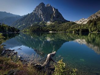
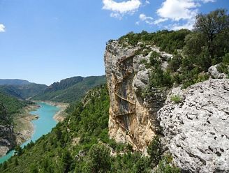
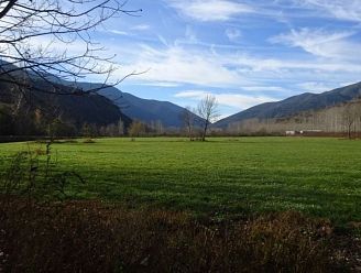
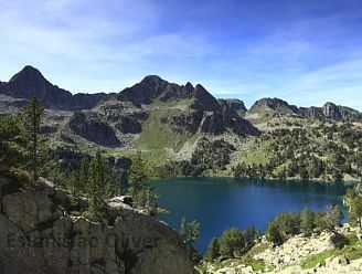
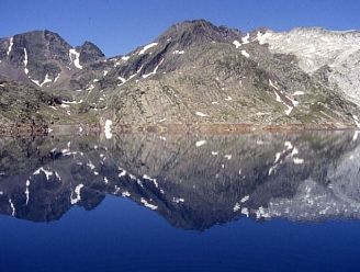
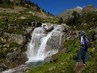
- Be captivated by the landscape and the natural wealth of Pallars Sobirà.
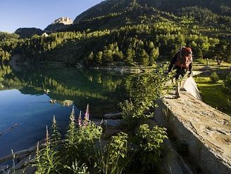
- Walk along the old bridle paths that used to link the villages of El Pallars.

ROUTE DESCRIPTION

Difficulty: remarkable
Departure/arrival: Sort - Hotel Les Brases
Total time: 7:30 a.m.
Minimum altitude: 1054m
Maximum altitude: 640m
Accumulated elevation gain: 1220m
Total distance: 24.4km
Nearest town: Sort
Accumulated elevation gain: 1220m

MORE INFORMATION

- Duration: Full day.
 
- Total effective time (without stops): 7:30h in total: 2:05h from Sort to Malmercat, 1:45h from Malmercat to Arcalís, 0:30h from Arcalís to the castle of Arcalís and 3:10h to return from the castle to Sort along the bottom of the valley.
 
- Cumulative difference in altitude: 1.220m
 
- Difficulty: Remarkable.
 
- Season: All year round.
 
- Equipment: Nothing special.
 
- Cartography:
1. Parc Natural de l'Alt Pirineu. 1:50.000. Editorial Alpina.
2. Topographical base of Catalonia 1:25.000. Institut Cartogràfic i Geològic de Catalunya (ICGC).
 
- Remarks: The path is signposted with yellow paint markings and vertical sticks at the crossroads. It is necessary to pay attention to the orientation because in some stretches the path can get lost. From Baro you can return to Sort by bus (timetables at www.alsa.es).
 
- How to get there by car:
The starting point of the excursion is at the Hotel Restaurant Les Brases de Sort. We arrive in Sort on the C-13 road. The Hotel Les Brases is located on the C-13 road, just at the north exit of the village. In front of the hotel there is a free parking space.
Thank you for subscribing to our newsletter